
KPFui (Urban Interface)
For our first episode, “Restricted Access Only” goes backstage with one of the newest design sectors named KPFui (Urban Interface) which is part of architect heavyweight, Kohn Pederson Fox Associates (KPF). In this episode we talk big data, changing urban landscapes and parametric technologies with Luc Wilson, Mondi Hsieh and Serena Li from KPF.
Research, development and innovation is what keeps many firms at the top of their game and KPFui (Urban Interface) has carved themselves a unique niche within the design process. This small design team run and founded by Luc Wilson has its fingers in many projects throughout the expansive office. They work on up to 80 projects during the year, and an average of 5-6 projects sited all over the globe in one week.
So, what do they do? You ask. (I asked the same).
KPF: Our team develops tools and diagrams that allow us to work iteratively with our designers (around the world) and communicate with clients. As a company KPF prides itself on being fully integrated despite having locations around the world. No matter what project, all the design studios are tightly knit. Recently, we had a master-plan in South Africa yet our Project Manager is in London. We’ve had designers based in Shanghai, with consultancy in NYC. We are able to have an intense and seamless design workflow with a 24hr turn around of ideas.
TLP: So what were the beginnings of this “think tank” design team?
KPF: Roughly 5 years ago Luc and his design partner Muchan Park, put their student work and ideas forward to the current KPF Managing Principal at the time Paul Katz. The premise of the idea being that you could take a large projects and split it up into all the objectives of all the stakeholders. Stakeholders, being communities, city agencies and developers all have different relationships and objectives with a project.
We use software such as Rhinoceros and grasshopper¹ to create discrete sets of analytical tools with different flavours for each project. By presenting stakeholders with clear suites of metrics and diagrams, designers can communicate ideas and keep track of objectives. Our Clients get used to seeing our diagrams and they become extremely useful in meetings.
TLP: What stage are you involved in the design process?
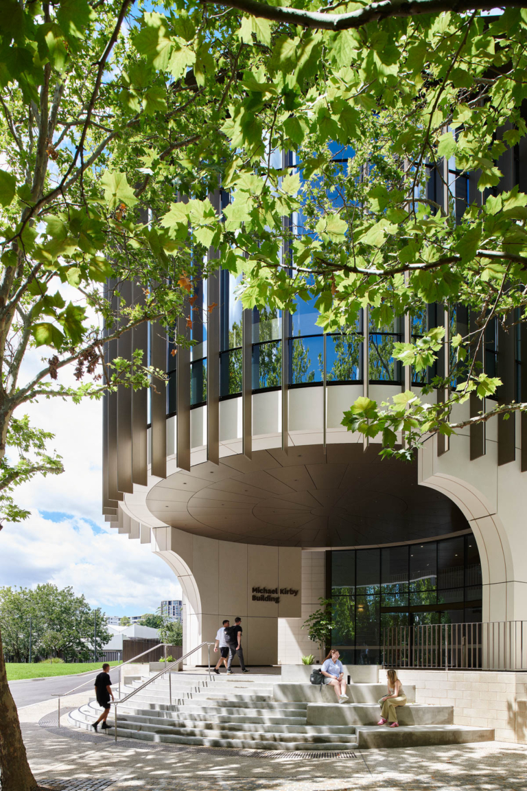
KPF: We’re typically involved in the early concept phases of design; working backwards and forwards between our designers. Our bread and butter work includes this early stage analysis e.g zoning, solar radiation, etc. We tend to jump out when the pace steps up and the design progresses beyond the conceptual massing and the major design moves have been fixed: location, orientation, shape, program distribution, etc. One Vanderbilt is our claim to fame success story mainly because it is a huge complex building with a lot of stakeholders that managed to capitalise on a number of win win situations.

TLP: And how does KPF UI (Urban Interface) fit in?
KPF: The Urban Interface project has a similar logic to One Vanderbilt except it takes everything to a larger scale, whereby we’re communicating with cities, city officials and developers. Here, urban themed ideas and collaboration with other organisations (e.g NYU, Columbia University, Harvard GSD) have enabled us to incorporate academic work, computational analysis and urban to play a role in design.
TLP: I see that New York City is the favoured case study?
KPF: New York City was chosen because it is data rich and we all understand New York City really well. Sometimes we’re scrambling to build 3D context models and run environmental performance analysis. When building these tools, a lot of the challenge is knowing which questions to ask. From a high level, we’re asking where these tools and applications are going. Recently we’ve been starting to work outside of the normal scope of the architect. We’ve been working with developers using data analysis to help them to find sites to purchase, along with the Department of City Planning to study the impacts of rezonings.
All of this work assists them with framing policies and putting dollar values/metrics on things. For instance, on a micro scale we can look at retail visibility from the perspective of a person in a mall. Designers, tenants are concerned about which facades you can see when looking down a hall way. Where are the blind spots? Escalators? And how diverse is your view? This can assist with the sequencing and distributions of storefronts, food and fashion within a building.


TLP: What about less “data rich” cities and the potential in developing cities?
KPF: I think there are a couple of distinctions to be made. It is not necessarily about “wealthy” versus “poor” cities. For example, Albuquerque provides open urban data and it is not a wealthy city. The main distinction is that when a city provides open data we can do large scale urban analysis. It becomes difficult to give answers for cities who need assistance on their infrastructure, when their infrastructure doesn’t exist. So far we rely on the responsibility of “wealthy” cities to give us data in order to setup frameworks for analysis. Hence a lot of the pilot cities we have chosen to study are already data rich. When they don’t we can only run analysis on spatial data we derive ourselves such as daylight, views, regulatory compliance, and walkability.
TLP: Let’s talk about the “P” word (Parametrics), how is this incorporated into your projects?
KPF: Parametric models always contain elements of design. Things can’t be “automated”. With One Vanderbilt we developed a dashboard of parametric models based off design partii.
We can parametricise chamfers, terraces, tapers which doesn’t necessarily change the partii itself but can quickly give a lot of options. From there the options are optimised and calibrated by the design team.

TLP: Ok, last question… what is the future of these tools? Will they turn into products?
KPF: It’s difficult trying to turn these models into more refined tools, rather than something you can quickly view in grasshopper. There has been conversations about producing client operable products. But where do you draw the line on becoming a service provider versus a product maker…?
Stay tuned for future articles that this team is working on, they’re ones to watch!
- Rhinoceros is a NURBs based modelling computer program. Grasshopper is a plugin (add-in software) for rhinoceros which allows users to create relationships (define parameters) from built geometry in rhino (or numeric data). Through grasshopper users are able to manipulate geometry in real time as the geometry is all related. Moreover users are able to quickly generate models and see solutions quickly without having to consistently remodel geometry. This is also known as parametric modeling.